

.webp)
.webp)
.webp)

Editor’s Note: As the Middle East crisis intensifies, GPS/GNSS interference—including jamming and spoofing—is once again a significant operational hazard for commercial aviation.
Pilots and operators around the Gulf are reporting degraded navigation performance and anomalous position readouts, prompting crews to rely more on inertial and ground-based aids, cross-check raw data, and adjust procedures to maintain safe separation and stable approaches.
With interference reports increasing, we’re reposting our January 2024 explainer by Capt Chris Smith on how GPS jamming and spoofing appear in the cockpit—and how airlines manage the risk when satellite navigation can’t be trusted.
---
DALLAS — Whenever geopolitical tensions simmer, disruption to the airline industry is never far away. As airlines halt flights to trouble spots and plan detours around conflict zones, the complexities are often subtle from an operational perspective, yet can be far-reaching.
Perhaps you remember the first generation of satellite navigation receivers from some twenty years ago, which would today be considered unfashionable and clunky. Nowadays, barely a day goes by when we don't rely on satellite navigation technology. From sleek smartwatches to compact car navigation systems, one doesn't have to look far to see how rapidly this technology has evolved. Similarly, the aviation industry has also embraced the advantages of satellite navigation.
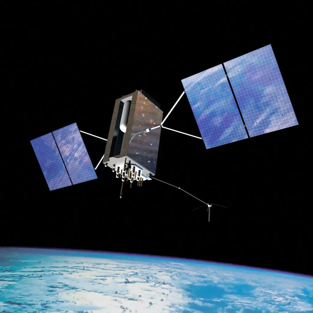
You will note that I have refrained from using the acronym GPS (Global Positioning System), and for good reason, too. While it's common for many to refer to satellite positioning systems simply as GPS, this is not strictly correct. GPS is one of four global satellite positioning systems that all fall under the banner of the Global Navigation Satellite System (GNSS). While the US created GPS, other systems include Russia's GLONASS, China's BeiDou system, and the EU's Galileo.
Supplementing these systems are several regional navigation systems with more limited coverage. Within the GNSS cluster, there is intended to be some redundancy. A failure of one system should never render the entire GNSS system unserviceable.
Back to basics
Before we go any further, reviewing how GNSS works is probably a good idea. Satellites broadcast radio signals that are detected by GNSS receiver units. Before a location can be determined, a receiver must detect signals from several satellites.
The distance from the satellite to the receiver can be determined based on elapsed time using the razor-sharp accuracy of atomic clocks. This technique of position fixing is known as trilateration. Civilian GNSS devices can provide location accuracy to within a few meters.
The mainstay of airborne global navigation is now satellite-derived. However, one exception remains—the trusted Instrument Landing System (ILS). This is the only ground-based navigation aid that is not subject to widespread global decommissioning. Throughout the world, the ILS continues to guarantee successful landings in the poorest of visibility.
There is, however, a catch to the increasing reliance on satellite-derived navigation. Transmitted radio signals have low power near Earth, making them susceptible to interference. In times of conflict, military forces will often take steps to interrupt the reliability of satellite positioning systems. This is done as a countermeasure against opposing forces using equipment that relies on it.
Unfortunately, such deliberate signal interference can frequently propagate and affect civilian aircraft. Indeed, airliners flying close to but clear of conflict zones are frequently subject to GNSS signal interference.
Global hotspots
Interference with GNSS systems is not a new phenomenon; four years ago, Airbus issued a safety bulletin to guide airlines. Yet, radio signal interference was not as sophisticated back then as it is now, which has resulted in additional issues. Instead of GNSS signals being intermittently interrupted, aircraft can now be unable to recover and experience total GNSS failure.
As a result, some manufacturers have collaborated with carriers to develop new procedures that allow pilots to reset GNSS systems while in flight. With the skies above us becoming increasingly congested, arrival routes into busy airports are often designed using the high level of navigation accuracy that GNSS affords. In such cases, inoperative GNSS equipment can lead to complications later in flight, prompting the exploration of reset procedures.
While GNSS unreliability can vary with fluctuating global tensions, Turkey has been affected for many years. Geopolitical upheaval has never been far from its borders, sandwiched between the long-running Syrian conflict and the more recent war in Ukraine. On a more recent note, the rapid escalation of tensions in Israel has also increased the intensity of satellite signal interference in the eastern Mediterranean.
Before the widespread adoption of GNSS, airplanes used a network of ground-based navigation beacons. While the number of these stations is steadily declining, there is generally enough coverage to allow navigation systems to be updated with reasonable accuracy when flying overland. Fortunately, GNSS signal interference is rare in remote marine areas, which may be a blessing given that ground-based navigation beacons are rarely seen in the middle of the ocean.
Signal spoofing
However, the story does not finish there. As military technology has advanced, a new dilemma has emerged. Instead of the satellite signal abruptly disappearing, as with jamming, aircraft may be subjected to counterfeit signals replacing the original signal. This is usually known as signal spoofing. Aircraft flying over Iraq have been more vulnerable to this situation in recent months.
Spoofing causes a far more severe headache for aviation. This erroneous signal might provide a receiver unit with a false position indication while giving pilots initial indications that their GNSS equipment is functioning properly. In other words, the original satellite signal is replaced with the counterfeit signal, but the receiver cannot detect the difference.
It doesn't take much imagination to conjure up potentially sinister scenarios in which pilots are duped into believing they are somewhere they aren't. In extreme cases, it has led to ground proximity warning systems on board aircraft issuing false commands to pilots to rapidly avoid terrain.
If spoofing technology renders navigation equipment effectively obsolete, this could increase the workload for Air Traffic Controllers. It takes time and effort to provide navigation assistance to numerous aircraft using ground-based radar and broadcast such instructions to pilots by radio.
Finally, even passengers may witness the effects of signal interference. Satellite radio waves provide precise timing for flight deck navigation equipment and clocks. I recall flying through an area of GNSS signal interference, and the two flight deck clocks leaped forward for many hours. If that was unsettling for us pilots, imagine how the passengers felt when they saw the estimated arrival time on their entertainment screens leap ahead by many hours!
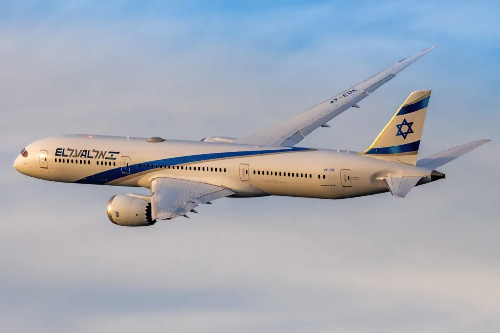
Featured image: Fabrizio Spicuglia/Airways
.avif)